
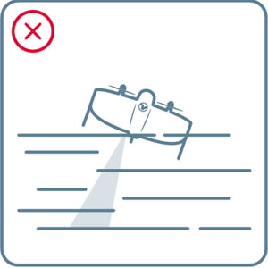
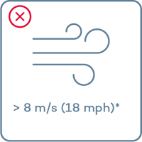
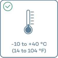
Do not fly in
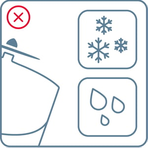

- Fog
- Snow or rain
- Strong continuous winds*
- Extreme temperatures
- High altitude **
Use return to home (RTH) if conditions change while flying!
*8 m/s (18 mph) continuous wind speed measured on ground corresponds to approx 10 m/s (22 mph) surface wind
** With high altitude propellers up to 4800 m (15’700 ft) AMSL *** . Learn more about high altitude flying at knowledge.wingtra.com/high-altitude.
*** AMSL: Above mean sea level
Download offline maps
If you do not have an internet connection in the field, you can download a map beforehand. To do so:
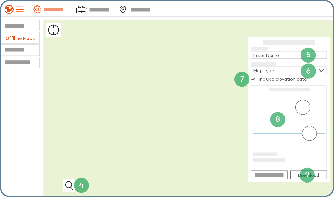
- Open the "Settings" tab
- Select “Offline maps”
- Select “New offline map”
- Navigate to the desired location, either by dragging the street map or by using the search function
- Give the set a descriptive name
- Choose a map type
- Check the box "Include elevation data" if you require terrain following—this is always recommended
- Adjust zoom levels if needed—14-18 is the recommended setting
- Select "Download"
Charge your batteries
.png?width=313&height=269&name=Charge%20batteries_charge%20batteries%20(1).png)
- Power the battery charger
- Connect the charger output cables to the charger first and only then to the batteries
- On the side of the charger that the battery has been inserted into, press and hold the middle of the three buttons for 1 second
- On the display screen, ensure the "task" is set to "charge" before navigating to and selecting "start"
- Use the central USB port to charge your tablet
Keep your batteries healthy
- Do not expose them to sun
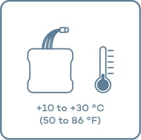
- Before flying, keep them at a moderate temperature
-
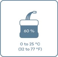
For longer storage, keep them at room temperature and charged at 60% capacity
For longer storage, keep them at room temperature and at 60% capacity. To do this perform the following steps:
- Connect a battery using the adapter cable
- Press and hold the middle button
- Set “task” to “Storage”, then select “Start”
- Repeat process of the other battery