Offline maps are only available in WingtraPilot. For desktop flight planning you need to have an internet connection to get the background map.
Download new offline map
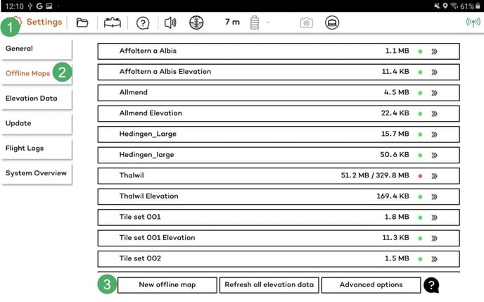
- Open Settings.
- Select Offline maps.
- Tap New offline map.
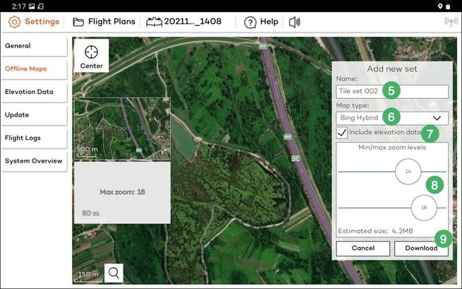
- Navigate to the desired location, either manually or by using the search function on the bottom left.
- Select a bigger region than what you are actually planning to fly and give it a meaningful name.
- Choose the optimal map type
- If you want to download elevation data for the selected area, you can check the box Include elevation data located below the selected map type.
- Select zoom options (defaults of 14-18 should normally be fine but if you have space on your tablet we recommend zoom level 19, so that you can get more details on the field). By clicking on download, you start the downloading of the map tiles and, if selected, the elevation data.
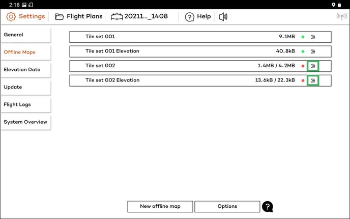
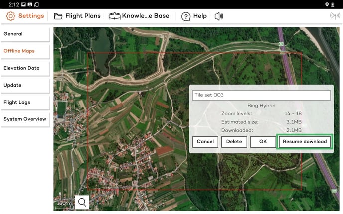
Be patient if the tiles are not loading immediately. If it does not progress for several minutes, restart WingtraPilot, navigate to the Settings tab, select Offline maps again, and click on your new set. On the right side, click on resume download and be patient again. Once the download has been completed, the dot on the right side of the box will change from red to green. If elevation data has also been downloaded, it will appear in a separate box.
Refresh all elevation data
Starting from the 2.10 software version, the default elevation data provider is Mapbox, which offers global coverage and higher accuracy for safe and reliable flight planning. All newly downloaded data will be coming from Mapbox.
The option to refresh all elevation data will delete all the previously downloaded SRTM elevation data and will overwrite them with newly downloaded data from Mapbox.
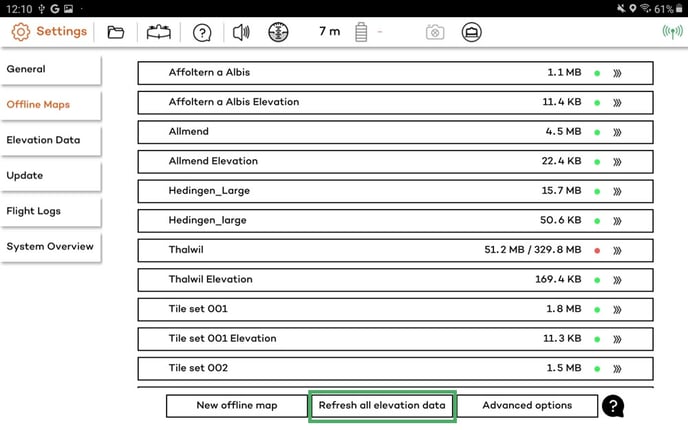
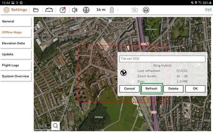
Overwriting the SRTM elevation data with the Mapbox data can be done for an individual tile by selecting it on the list and clicking on the Refresh button.
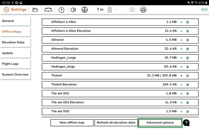
Advanced options
In the Advanced offline maps options, you can clear all maps and elevation data cache and refresh all maps and elevation data (all maps and elevation data will be downloaded once more).