Why does it matter?
Planning flights in regions with rapidly changing terrain, such as mines, can be challenging because the default terrain data (Mapbox) may not accurately reflect the current landscape. Planning flights using outdated or inaccurate terrain data can create safety risks and affect the accuracy of the map output.
Plan a flight based on terrain data captured in an earlier flight
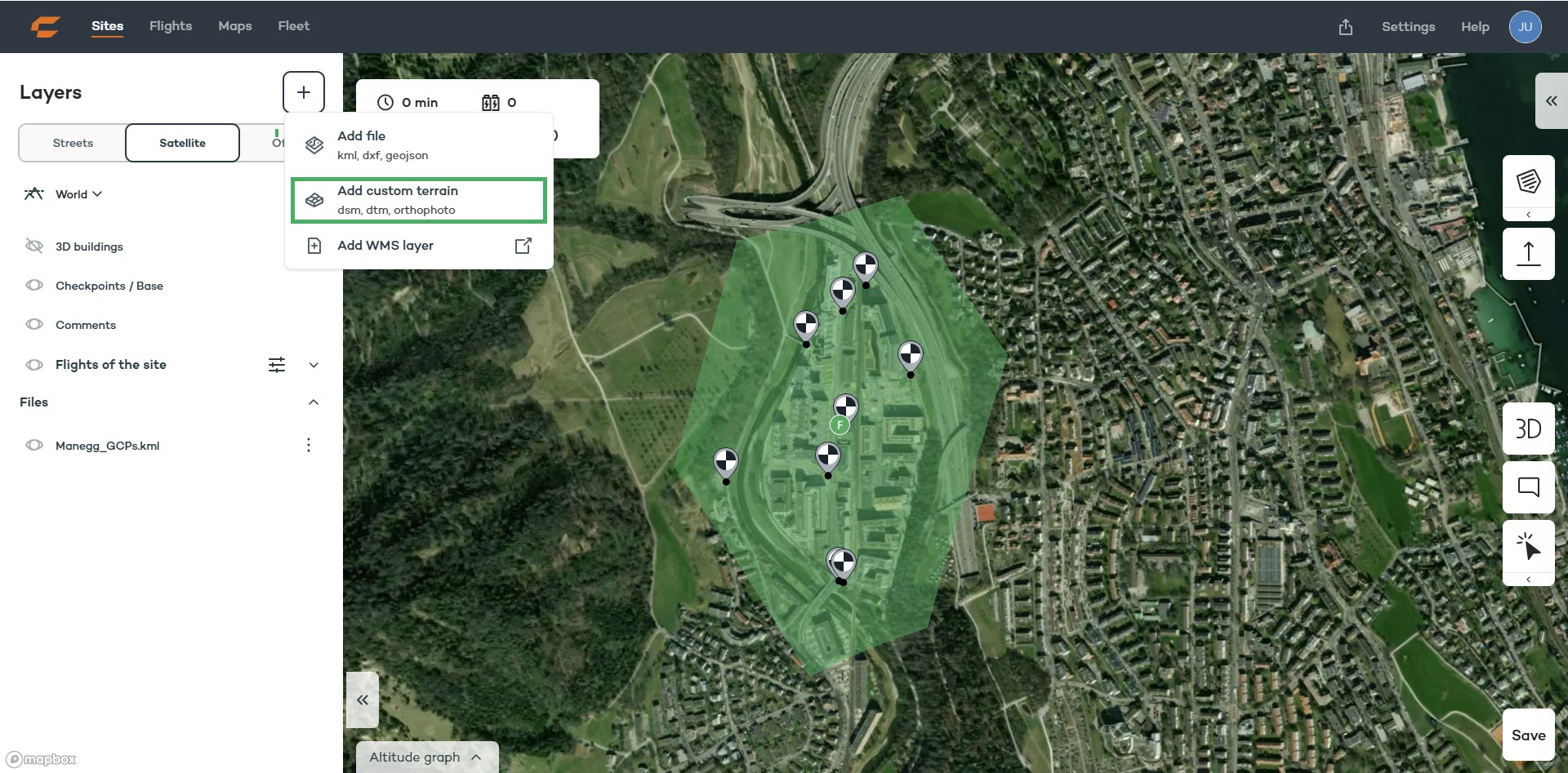
When planning a new flight in WingtraCLOUD, click on the plus symbol under the Layers tab and select "Add custom terrain".
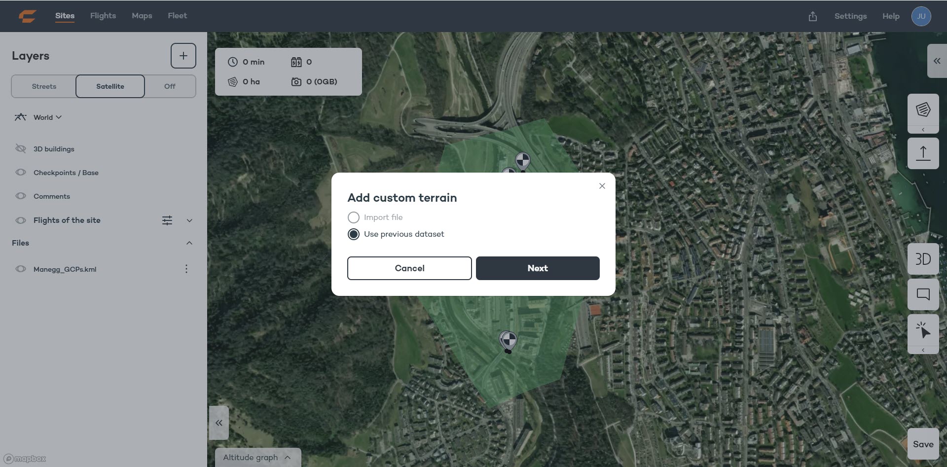
Select "Use previous dataset" and click Next.
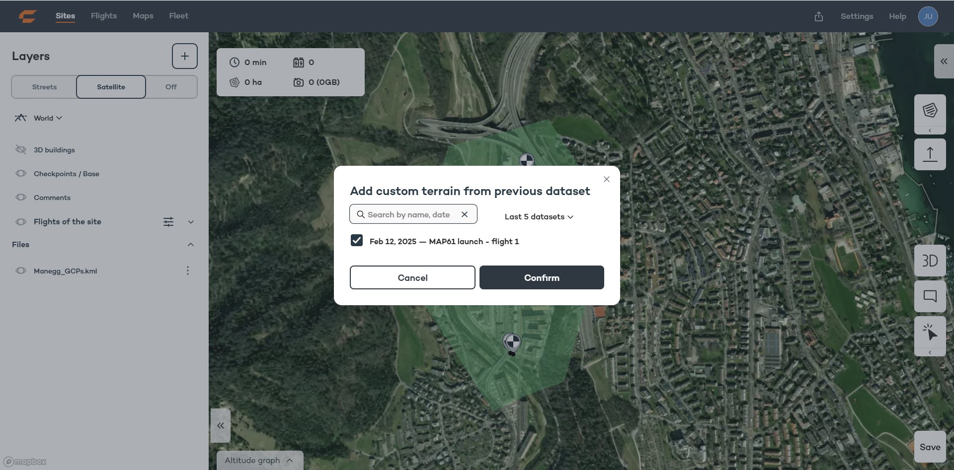
Select from the list of available datasets. The list will only show flights from the same site which have been processed using WingtraCLOUD.
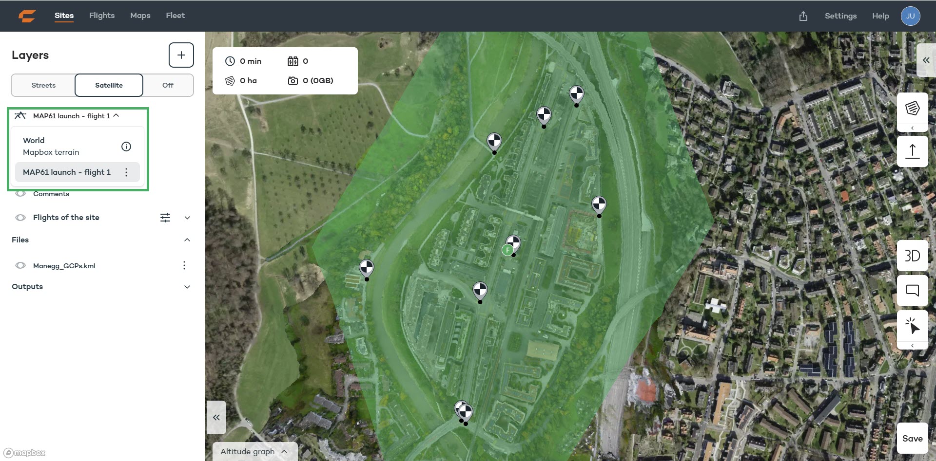
Check the selected terrain data in the Layers tab at the top left.