The flight planning requires map and terrain elevation data. This is normally downloaded by WingtraPilot automatically while the user is setting up the Flight Plan. In certain situations users may be restricted from connecting the WingtraPilot ground station tablet to the Internet. In this case the following workaround can be used.
- Install WingtraHub on a computer with Internet access
- Plan your Flight Plan in WingtraHub
- Export the flight plan onto an SD card
- Copy the files within the Maps folder containing background maps and elevation data to the SD card. The folder can be found under the path:
- *Boot Partition*\Users\*Username*\WingtraHub\Maps
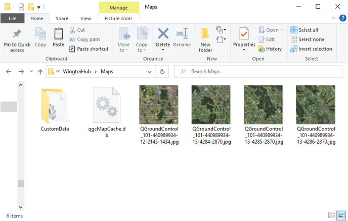
- *Boot Partition*\Users\*Username*\WingtraHub\Maps
- Connect the SD card to the tablet.
- Open the Files application on the tablet
- Paste the contents from the SD card to the Maps folder via this internal storage path below, ensuring not to delete or remove any license data:
- Internal Storage > WingtraPilot > Maps
- Open the WingtraPilot app and import the Flight Plan from the SD card
Troubleshooting
If you experience problems with this approach
- Make sure that you use the same map type as selected in the general settings for planning.
- Make sure that all flights to be performed were planned on the same computer with WingtraHub. This ensures that WingtraHub has downloaded all the necessary data. Otherwise you can import and open each flight plan once to download necessary data. If you require different zoom levels during the flight then also zoom once to these levels on the desktop computer.