
Tips on how to plan your flight above steep terrain
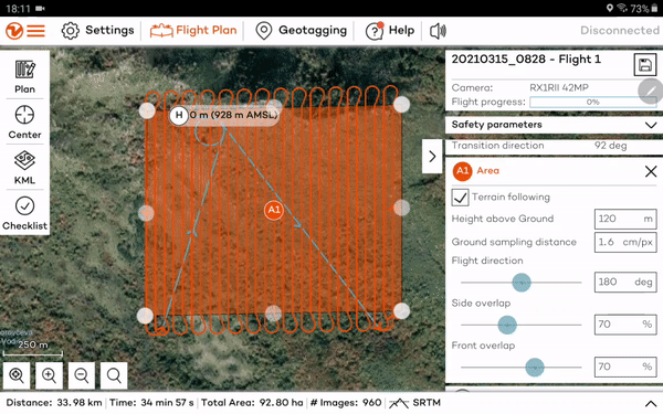
For mapping in difficult terrain, you have options to facilitate path planning (see our Flight planning tools article). Overall, you will want to enable terrain following in difficult terrain and potentially import your own elevation data if you are unsure about the reliability of the WingtraPilot elevation data.
For steep terrain (slope > 100% or 45 degrees) you need to be extra careful in flight planning. The spatial resolution of the elevation data is 30m and the steeper the terrain, the higher the uncertainty of the data. Moreover, overshoots of WingtraOne in turns (especially in high winds) can lead to substantial risk in steep terrain. If you can afford it, please consider using higher GSD (fly higher above ground) than you normally would. Make sure that you set the minimum height above ground parameter to a higher value to account for additional uncertainty. Manually check points along the flight plan that come close to ground, rocks, or other obstacles.
In order to have a better general overview of the terrain you will fly over with your WingtraOne, you can change the map type to Terrain if you are using Google as a map provider in WingtraPilot
In case the terrain changes in different directions, consider splitting the area into smaller areas that better follow the contour lines. You can create the smaller areas manually in WingtraPilot or WingtraOne or import KML files and convert them into areas as it is described in this article.